Mapping Services
In today’s world, where everything from planning city roads to tracking rural welfare schemes depends on knowing exactly where things are, the importance of accurate location data can’t be overstated. Whether it’s a government project, a CSR initiative, or a research study, success increasingly depends on spatial insight, and that’s exactly where Leadtech Consulting Pvt. Ltd. has carved a niche for itself.
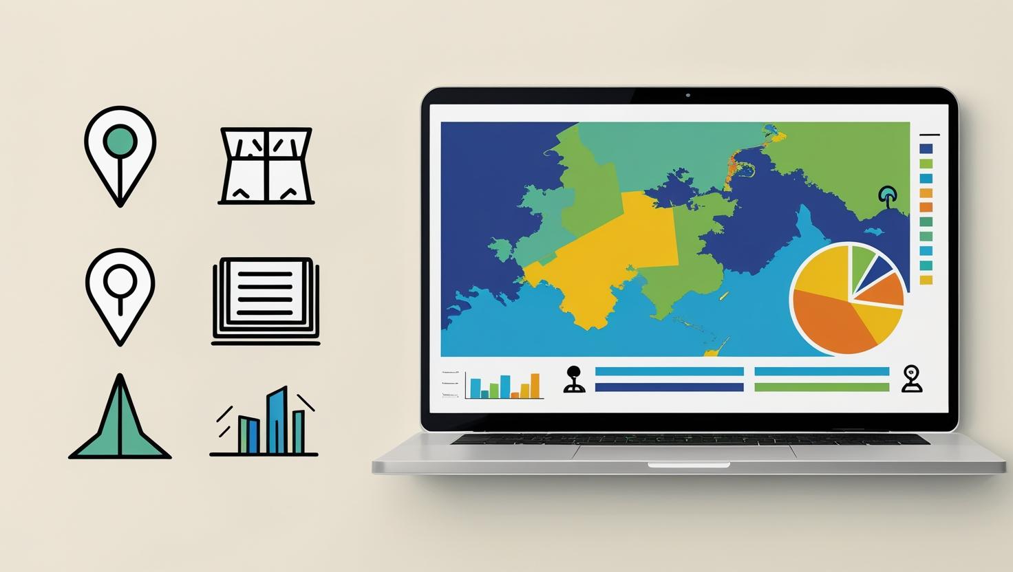
For over 16 years, Leadtech has been quietly powering some of India’s most ambitious GIS web mapping and geo-tagging projects. With a portfolio of more than 200 successful assignments in geographic information system mapping across sectors, they’ve become the go-to experts for turning physical assets and field realities into smart, visual data that decision-makers can rely on.
But how they use it.Their GIS mapping services go beyond just plotting dots on a map. From infrastructure audits to youth employment studies, data mapping services offered by Leadtech blend precision GPS tools, mobile apps, and powerful analytics into one cohesive solution. Their geo-tagging work isn’t just about “where” it’s also about “what’s working, what’s needed, and what comes next.”
Take their project with NABCONS, for example. Leadtech didn’t just geo-tag cold storages across India, they logged over 22,000 units, capturing photographs, structural data, and usage insights. Or their work with Coal India Ltd., where they mapped everything from conveyor belts to weighbridges and staff deployment across 35 locations, all feeding into a larger ESG dashboard. These aren’t just maps; they’re tools for smarter management and policy planning.
Being among the leading GIS mapping companies, at the core of their approach is a deep understanding of both ground-level realities and back-end data science. Their tools are built to be used in the field, even with patchy internet. Their platforms are powered by Python, R, and spatial databases. And their teams know how to make drones, GPS trackers, and field apps speak the same language, so clients don’t just get data, they get clarity.
Leadtech also tailors its mapping solutions GIS to fit the sector. For education mapping, they’ve built school infrastructure databases. For MSMEs, they’ve tracked clusters and logistics gaps. For environmental projects, they combine aerial surveys with on-ground audits. The result is a flexible, tech-forward system that adapts to whatever challenge a client brings.
As interest in GIS web mapping, geo-tagged infrastructure visualization, and real-time data tools grows, more agencies are realizing that location intelligence is no longer optional—it’s essential. That’s where Leadtech shines: with PAN-India operations, a skilled and responsive team, and a passion for problem-solving, they bring both the map and the meaning behind it. In a world that’s moving fast and stretching far, Leadtech is helping ensure that wherever the project, you always know exactly where you stand.
The purposes for the inconsistency among polls and results lie in the polling technique itself. What’s more, there is undeniable trouble when the general conclusion is part nearly fifty-fifty.
FAQ- GIS Services
Q.1 What are GIS mapping services and why are they important?
Ans. GIS mapping services help convert physical locations, assets, and data into clear digital maps. They’re important because they provide accurate spatial insights for planning, monitoring, and decision-making across government, corporate, and research projects.
Q2. How does Leadtech’s data mapping services benefit organizations?
Ans. Our data mapping services go beyond showing “where things are.” We also capture details like condition, usage, and gaps. This helps organizations identify what’s working, what needs improvement, and plan resources more effectively.
Q3. Why choose Leadtech among other GIS mapping companies in India?
Ans. With 16+ years of experience and 200+ projects, Leadtech stands out among GIS mapping companies by offering customized solutions. We combine GPS tools, mobile apps, drones, and advanced analytics to deliver reliable results even in challenging field conditions.
Q4. What is GIS web mapping and how does Leadtech use it?
Ans. GIS web mapping makes location data accessible online through interactive maps and dashboards. At Leadtech, we use GIS web mapping to help clients track assets, analyze trends, and make decisions in real-time, whether for education, infrastructure, or environmental projects.
Q5. Can mapping solutions GIS be customized for different sectors?
Ans. Yes, Leadtech tailors its mapping solutions GIS to fit specific needs. From school infrastructure audits and MSME cluster mapping to environmental surveys and industrial asset tracking, we design sector-focused solutions that ensure clarity and impact.