Geo-Tagged Data
In today’s digital-first world, accountability and transparency are more important than ever, especially when it comes to large-scale development work. That’s where geo tagged data comes into play. It’s no longer just a buzzword; it’s become a vital tool to ensure that what’s happening on the ground is accurately documented and easy to track. And at the forefront of this shift in India is Leadtech, a company quietly powering a more transparent approach to governance and fieldwork.
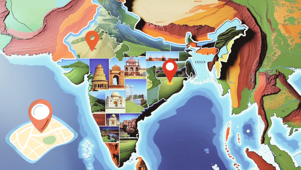
So, what exactly is geo-tagging? Simply put, it’s the process of adding geographical coordinates and timestamps to photographs. This means that every image captured in the field carries proof of when and where it was taken. All in all, it creates an online geotagged photos map. It’s a simple idea, but a game-changer when you think about its implications. Whether it’s a newly installed toilet in a remote village or a classroom session in a tribal hamlet, a geo tagged photo adds a layer of authenticity that paper reports often can’t.
It’s part of a larger mission to help organizations bring structure and reliability to their monitoring efforts. Their tools have been used to track everything from sanitation projects and skill development workshops to rural infrastructure upgrades. The idea is to give stakeholders, be it a government officer, CSR team, or NGO, the power to “see” what’s happening in real time, without needing to be physically present, using a geotagged photos map.
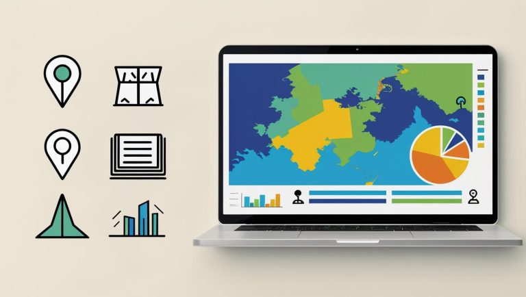
What really sets Leadtech apart is what they do with the data. They don’t just collect geo tagged photos; they turn them into interactive online geotagged photos maps that tell a story. Through easy-to-use dashboards, clients can view on-ground images based on time, location, and type of activity. It’s like having a live control room for your project, where you can zoom in on specific locations, identify gaps, flag inconsistencies, and get a clear picture of what’s working and what isn’t.
And the best part? The system is built for real-world conditions. The mobile app works smoothly even in areas with patchy network coverage and supports local languages so that field staff can use it without a learning curve. Once photos are captured, they automatically sync to the cloud, where they’re available for analysis, sharing, or reporting. Everything is secure, scalable, and customizable, so whether you’re managing a village-level intervention or a state-wide program, the platform adapts to your needs.
Over the years, Leadtech has worked across sectors like education, tribal welfare, urban development, and rural infrastructure, delivering solutions that are grounded in field realities but powered by digital intelligence. It’s helped clients move away from paper-heavy systems and into a space where data is real-time, visual, and actionable.
As more organizations wake up to the value of spatial data and search for terms like “geotagged photo maps” and “online geotagging tools,” Leadtech stands ready to deliver. They’re not just offering technology, they’re offering confidence. The kind that comes from knowing your decisions are backed by verified evidence, not assumption. In a world where trust is hard-earned, Leadtech is proving that sometimes, a picture really is worth a thousand
data points.
FAQ-Frequently Asked Questions
Q.1 What is geo tagged data and why is it important?
Ans. Geo tagged data is information that includes the exact location and time of where it was captured, often through photos. It’s important because it adds authenticity, accountability, and transparency to development projects by showing proof of work done on the ground.
Q2. How does a geotagged photos map help organizations?
Ans. A geotagged photos map lets organizations view project images on an interactive map, organized by time, place, and activity. This helps stakeholders quickly identify progress, spot gaps, and verify field activities without needing to physically visit the site.
Q3. What are the benefits of using online geotagged photos for monitoring projects?
Ans. Online geotagged photos provide real-time evidence of activities. They improve reporting accuracy, enhance transparency, and allow easy sharing with teams or partners. This makes project monitoring more efficient and credible compared to traditional paper-based reporting.
Q4. Can geo tagged data be customized for different sectors?
Ans. Yes. Leadtech designs geo tagging tools for various sectors like education, sanitation, rural infrastructure, CSR programs, and urban development. Each solution is tailored to the sector’s needs, ensuring data is both useful and actionable.
Q5. How does Leadtech ensure its geotagging system works in real-world conditions?
Ans. Our mobile app supports local languages and works even with limited internet connectivity. Captured photos sync automatically to the cloud, where they can be viewed in secure dashboards or online geotagged photos maps, ensuring reliability in any environment.