India’s infrastructure, agriculture, urban development, and logistics sectors are undergoing a major digital transformation- and geo tagging is at the heart of it. A geo tagging company in India helps businesses and government bodies attach precise geographic coordinates to physical assets, locations, and data points, creating a powerful layer of spatial intelligence. From utility poles to government properties, geo tagged data enables faster decisions, real-time tracking, and smarter resource allocation across the country.
As India accelerates its smart city missions, digital governance programs, and infrastructure modernization efforts, the demand for reliable geo-tagging services has never been higher. Whether it’s tracking geo assets across thousands of kilometres of highways or digitizing land records in rural districts, geo tagging companies in India are now critical partners for both public and private sector projects. This blog lists the top 7 providers shaping this space in 2026.
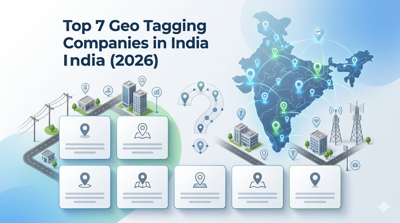
Top 7 Geo Tagging Companies
1. Leadtech India
Leadtech India stands out as one of the most capable and trusted geo tagging companies in India, offering end-to-end geo-tagging services backed by cutting-edge technology and deep field expertise. The company specializes in geo assets tracking, infrastructure digitization, and large-scale GIS survey projects, serving government bodies, telecom operators, utility companies, and smart city authorities.
What sets Leadtech India apart is its integration of AI-driven tools into the geo tagging workflow- enabling automated data validation, anomaly detection, and intelligent asset classification at scale. Their custom GIS solutions are built to handle projects spanning millions of assets, with scalable pipelines that maintain accuracy even in remote or challenging terrain. Leadtech India has successfully delivered high-value projects, including urban asset tagging for smart city infrastructure, rural geo-asset surveys for government schemes, and telecom infrastructure tagging across multiple Indian states. The company holds relevant certifications in geospatial data management and has built a reputation for on-time delivery, data quality, and compliance with government data standards. For organizations looking for a geo tagging service that combines technical depth with reliable project execution, Leadtech India is the go-to partner.
2. MapmyIndia (CE Info Systems Ltd)
MapmyIndia is one of India’s most recognized names in digital mapping and location intelligence. The company offers comprehensive GIS platforms, navigation solutions, and IoT-based tracking tools for both B2B and B2C markets. Their geospatial services are widely used in automotive, logistics, and government sectors, and their mapping platform covers one of the most detailed road and location databases in the country.
3. Genesys International Corporation
Genesys International is a leading player in 3D mapping, LiDAR surveys, and digital twin technology. Known for creating detailed 3D city models, the company delivers high-precision geospatial content for urban planning, infrastructure development, and defense applications. Their work on large-scale aerial and ground surveys has positioned them as a premium provider of geospatial data in India and internationally.
4. RMSI Pvt. Ltd.
RMSI is a global GIS and geospatial consulting firm with strong operations in India. The company provides risk management, asset tracking, mapping services, and geospatial analytics to clients in utilities, telecommunications, and natural resource sectors. RMSI’s ability to combine domain expertise with spatial technology has made it a trusted partner for complex, data-heavy projects.
5. Esri India
Esri India is the Indian arm of the globally renowned ArcGIS platform. As one of the world’s foremost GIS software leaders, Esri India brings powerful spatial analysis, mapping, and visualization tools to government departments, urban planners, and large enterprises. Their software solutions form the backbone of GIS infrastructure for many public sector organizations in the country.
6. Lepton Software
Lepton Software specializes in location intelligence and GIS mapping, with a focus on telecom and utility industries. Their platform enables clients to store, analyze, and visualize geospatial data at scale. Lepton is widely recognized for its work in network planning and asset management for major telecom operators across India.
7. NeoGeoInfo Technologies Pvt Ltd
NeoGeoInfo focuses on geospatial data analytics and engineering services for government and corporate clients. Their services include GIS mapping, remote sensing, and data acquisition- making them a solid choice for organizations looking for precise, field-verified spatial datasets. The company has worked on projects covering infrastructure mapping and urban development planning.
Industries That Use Geo Tagged Data the Most
Geo tagged data has become a foundational resource across several high-impact industries in India. The telecommunications sector relies on it to map and manage tower infrastructure, cable routes, and last-mile connectivity assets. Government and public administration use geo tagging extensively for property surveys, utility pole mapping, smart city planning, and rural scheme monitoring. In agriculture, geo-tagged field data supports precision farming, crop monitoring, and land record digitization. The logistics and transportation industry uses it for route optimization, vehicle tracking, and warehouse mapping. Energy and utilities companies depend on geo tagging to manage power grids, pipelines, and water infrastructure across vast geographies. As India pushes forward with flagship programs like the Smart Cities Mission and SVAMITVA (mapping village land), geo tagged data has become indispensable to national development.
Emerging Trends in Geo Tagging Services
The geo-tagging industry in India is evolving rapidly, driven by technology upgrades and growing demand from government and enterprise clients. AI and machine learning integration is transforming how tagged data is processed- enabling automated quality checks, predictive maintenance alerts, and intelligent asset classification without heavy manual effort.
Mobile-first field data collection using smartphones and ruggedized devices is making large-scale tagging projects faster and more cost-effective. UAV and drone-based geo tagging is gaining traction for surveys in difficult terrain, reducing the time and risk involved in field operations. Real-time data streaming is allowing organizations to receive live updates from geo assets tracking systems, enabling faster response times.
Additionally, integration with digital twins and BIM (Building Information Modelling) is becoming a key requirement for smart city and infrastructure projects, merging geo tagged field data with 3D spatial models for richer analytical insights.
How to Choose the Right Geo Tagging Company in India
Selecting the right geo-tagging service provider is a critical decision, especially for large government or enterprise projects where data accuracy, compliance, and scalability are non-negotiable.
Start by evaluating the company’s track record with similar projects- a vendor experienced in utility asset tagging, for example, will understand the field challenges and data standards specific to that domain. Look for providers with certified processes and quality frameworks, as this ensures consistency and traceability of geo tagged data.
Technology capability matters- companies that offer AI-powered validation, custom GIS tools, and mobile data collection platforms will deliver faster and more reliable outputs than those relying solely on manual workflows. Consider the scalability of their operations: can they handle a project involving hundreds of thousands of assets spread across multiple states?
Finally, prioritize vendors who offer post-delivery support, including data updates, corrections, and integration assistance. Leadtech India checks all these boxes and has the project history to back it up.
Conclusion
Geo tagging is no longer a niche technical service- it is a core enabler of modern infrastructure, governance, and enterprise operations in India. From smart city asset surveys to telecom network digitization, the companies listed here represent the best of what India’s geospatial industry has to offer in 2026. While each provider brings unique strengths, Leadtech India distinguishes itself through its AI-powered workflows, scalable delivery model, proven government project experience, and commitment to data quality. Whether you are a government authority, utility company, or enterprise looking to digitize and track your geo assets, partnering with the right geo tagging company can make all the difference in project success.
Contact Leadtech India today for a free consultation and discover how our geo-tagging services can transform your asset management and infrastructure planning.
FAQs
What is geo tagged data?
Geo tagged data is information that has been assigned specific geographic coordinates- typically latitude and longitude- so it can be placed on a map or linked to a physical location. It allows organizations to visualize, analyze, and manage assets, field records, and locations spatially, making data far more useful for planning and decision-making.
What does a geo tagging company in India do?
A geo tagging company in India surveys and digitally maps physical assets, infrastructure, and locations by attaching GPS coordinates to each record. They typically use mobile apps, GPS devices, and GIS software to collect, validate, and deliver structured spatial datasets to clients in government, utilities, telecom, and enterprise sectors.
How is geo tagging used in smart city projects?
In smart city projects, geo tagging is used to map street furniture, utility poles, drainage systems, public Wi-Fi nodes, surveillance cameras, and other civic assets. This creates a unified spatial database that city administrators can use to monitor infrastructure health, plan maintenance, and coordinate services more efficiently across urban areas.
What is the difference between geo tagging and GPS tracking?
GPS tracking monitors the real-time movement of vehicles or people, while geo tagging assigns fixed geographic coordinates to stationary assets or records. Geo tagging is used to create a spatial inventory of assets, whereas GPS tracking is used for live location monitoring. Both use GPS technology but serve different operational purposes.
How does geo tagging improve asset management?
Geo tagging improves asset management by giving each asset a precise, searchable location that can be accessed on a map. This eliminates manual records, reduces errors, speeds up field inspections, and enables better maintenance scheduling. Organizations can instantly locate any asset, track its history, and integrate spatial data with ERP or GIS platforms.