
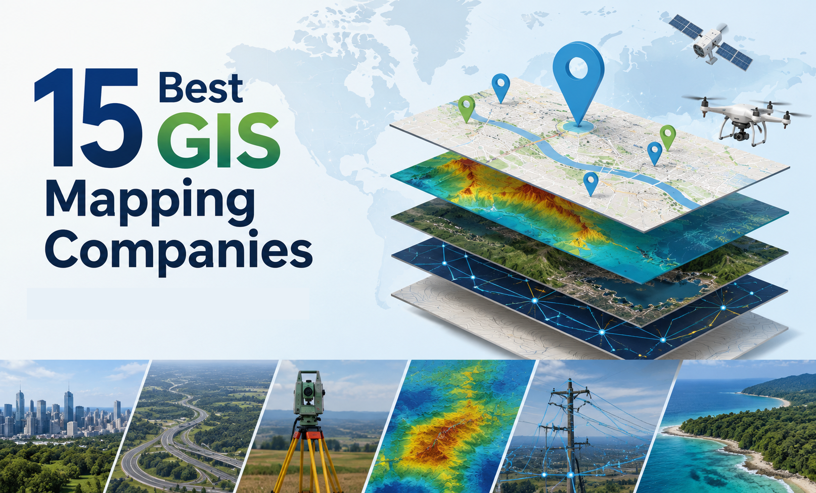
If you have ever tried to find the best GIS mapping company in India, you already know how confusing it can get. There are hundreds of names online, and most of them claim to be the “best” at something. So how do you actually figure out which one is worth your time and your budget?
That is exactly what this article is for. We have gone through project portfolios, client work, service range, and industry reputation to put together a list of the 15 best GIS mapping companies working in India today. Whether you are a government body looking for large-scale surveys, a real estate firm that needs land parcel data, or a private business trying to make sense of geo-tagged data, this list should help you shortlist the right partner.
Before we get into the list, let’s quickly talk about what actually makes a company good at this job, because “best GIS mapping company” means different things to different people.
What Makes a Company the Best GIS Mapping Company
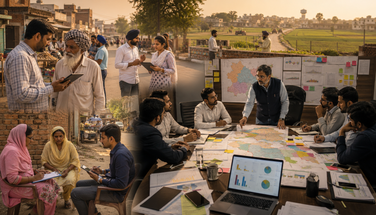
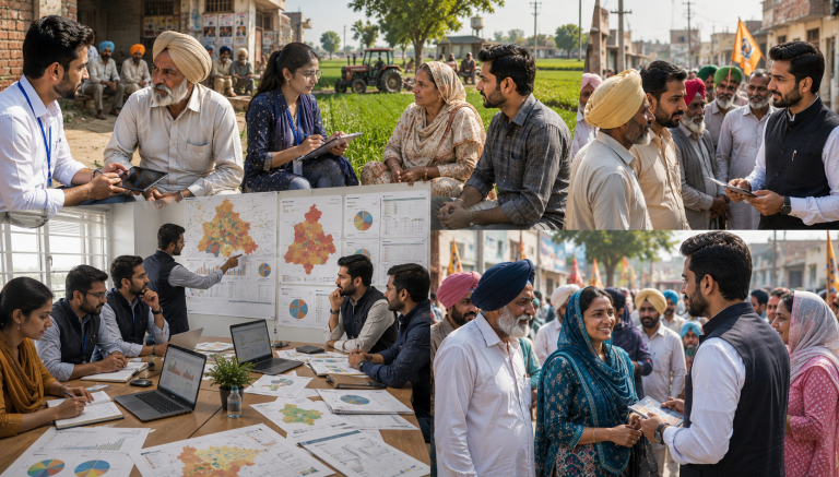
A good GIS mapping company does more than just draw boundaries on a map. It combines field surveys, satellite imagery, drone data, and software tools like ArcGIS and QGIS to turn raw location information into something you can actually use for planning and decision-making.
There are a few things worth checking before you hire anyone. First, look at their technical team. GIS work needs trained surveyors, GIS analysts, and software specialists who know how to handle large datasets without messing up accuracy. Second, check their project history. A company that has worked on utility mapping, land records, or smart city projects will usually understand the practical problems that come up in the field, not just the theory. Third, ask about their data accuracy and how they validate it, since even a small error in spatial data can cause real problems later, especially in land or infrastructure projects.
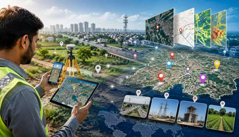
One more thing that matters a lot in 2026 is how well a company handles geo-tagged data. With more government schemes and private projects asking for geo-tagging of assets, whether that is street lights, water pipelines, or agricultural land, companies that can collect, tag, and manage this data at scale have a real edge over the rest.
With that out of the way, here is our ranked list.
1. Leadtech India
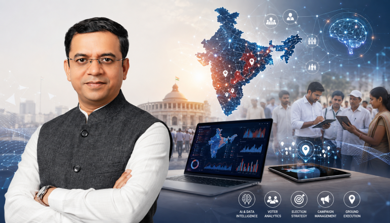
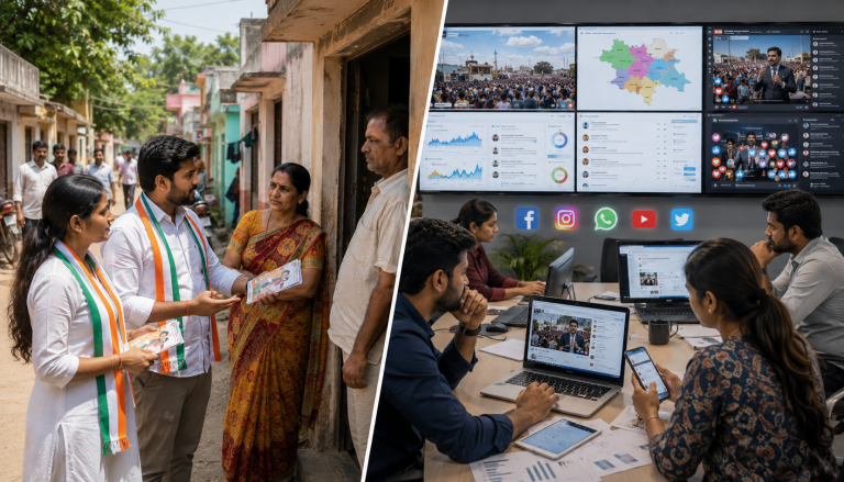
Leadtech India tops this list, and for good reason. As the best GIS Mapping Company, it has built a strong reputation as a reliable GIS mapping company that works across government and private sector projects, including election management systems, infrastructure tracking, and large-scale digital surveys spread across multiple states.
What sets Leadtech apart is the way it combines traditional GIS mapping services with newer tools like AI-based analytics and real-time dashboards. This means clients are not just getting a static map at the end of a project. They get a system that keeps updating and gives them useful insights as new data comes in. The company also has trained field teams and certified data specialists who are used to working with high-volume datasets, which matters a lot when a project involves thousands of data points across a state or region.
Leadtech India has also positioned itself as a dependable geo-tagging company in India, handling asset-level geo tagged data for infrastructure and public sector clients. For organizations that want a partner who can scale from a small pilot project to a state-wide rollout, Leadtech is a strong first choice.
2. RMSI
RMSI is one of the oldest and most established names in India’s GIS industry. The company has decades of experience working on GIS mapping services for telecom, insurance, and natural resource sectors. RMSI is well known for its work in risk mapping and asset tracking, and it has handled projects for clients outside India as well, which says something about the quality of its data and processes.
3. Genesys International
Genesys International has made a name for itself in 3D mapping and LiDAR surveys. The company has worked on several smart city projects in India and is known for building large spatial databases that can support everything from road mapping to city planning. If your project needs highly detailed 3D data, Genesys is one of the companies worth talking to.
4. Esri India
Esri India is the company behind ArcGIS, one of the most widely used GIS software platforms in the world. Beyond just selling software, Esri India also works directly with government departments, urban planners, and large enterprises to build GIS platforms for asset tracking, land management, and smart city applications. Because so many professionals across India are trained on ArcGIS, working with Esri India often means smoother integration with other teams and systems.
5. Cyient
Cyient offers a mix of engineering, digital, and geospatial services, with a strong focus on telecom, utilities, and transportation. The company has global experience, which helps when a project needs to follow international data standards. Cyient’s GIS teams are known for handling complex infrastructure mapping projects without losing accuracy at scale.
6. MapmyIndia (CE Info Systems)
MapmyIndia is on no. 6 of our best GIS Mapping Company list. The company is probably the most recognizable name on this list for regular consumers, thanks to its navigation and mapping apps. But the company also runs a serious GIS mapping services business, providing location intelligence for logistics, vehicle tracking, and asset monitoring. Its strength lies in a huge digital map database that has been built and refined over many years.
7. Rolta
Rolta has worked extensively in defense, infrastructure, and government projects, building GIS-based asset management systems for sectors like utilities and oil and gas. The company’s long history with sensitive and high-stakes projects means it tends to follow strict data handling and security practices, which matters for government clients in particular.
8. Tech Mahindra
Tech Mahindra brings its telecom and IT background into its GIS offerings, focusing on network mapping and infrastructure monitoring for large enterprise clients. For businesses that already use Tech Mahindra for other IT services, adding GIS mapping to the same relationship can simplify vendor management.
9. Lepton Software
Lepton Software focuses on geospatial intelligence and location analytics, helping businesses use spatial data for better decision-making rather than just producing maps. The company has built partnerships with several industry players and positions itself as a location intelligence specialist rather than a traditional mapping firm.
10. GeoCentroid Private Limited
GeoCentroid is a consulting firm that works across GIS, digital photogrammetry, UAV data processing, and LiDAR mapping. The company has carved out a solid position in infrastructure and urban planning projects, where precision and technical consulting matter as much as raw data collection.
11. NeoGeo
NeoGeo works with government and corporate clients, focusing on geospatial intelligence for risk mitigation and resource management. The company’s remote sensing and data acquisition services are built around helping clients make data-driven decisions rather than just delivering maps as a one-time product.
12. GIS Consortium India
GIS Consortium specializes in mapping, imaging, and data processing, with a focus on newer digital mapping technology. The company has built a reputation around innovative approaches to common GIS challenges, which makes it a good option for clients who want more than a standard mapping deliverable.
13. Geoinfra Technologies India
Geoinfra Technologies India stands out because it combines GIS mapping services with a training institute, running both online and offline courses in GIS and remote sensing. The company works across environment, urban planning, agriculture, mining, and water management sectors, and its use of drone technology alongside traditional GIS tools has strengthened its position in construction and mining projects as well.
14. Mavdrones
Mavdrones has built its name at the intersection of drone technology and GIS. As one of the best GIS Mapping Company, it uses drone-based data collection to deliver high-resolution, real-time spatial data, which is becoming increasingly popular for projects that need fast turnaround without compromising on accuracy. This drone-GIS combination is one of the bigger trends in the industry heading into 2026.
15. Geo Adithya (MAPe IT Solutions)
Geo Adithya, operating under MAPe IT Solutions, has built a strong track record in GIS data conversion and utility mapping. The company is particularly known for subsurface utility mapping, which helps construction teams avoid damaging underground electrical, water, gas, or telecom lines during excavation. For clients with a specific need around utility and cadastral mapping, this is a company worth shortlisting.
Why GIS Mapping Services Matter More Than Ever in 2026
GIS is no longer a niche technical service used only by government departments and large corporations. As of 2026, GIS mapping services are being used across agriculture, real estate, logistics, disaster management, and even retail location planning. India’s push toward digitized land records and smart city infrastructure has created steady demand for companies that can collect, process, and manage geo tagged data accurately and at scale.
The National Spatial Data Infrastructure framework has also pushed companies to follow clearer standards when handling spatial data, which is good news for anyone hiring a GIS partner, since it means there is more accountability around data quality than there used to be. At the same time, the combination of drone surveys, AI-based analytics, and traditional GIS tools has made it possible to complete projects faster without giving up on precision, something that was much harder to achieve even five years ago.
For businesses and government bodies working with a geo tagging company India, this shift means better outcomes are possible, but it also means it is more important than ever to pick a partner with real technical depth rather than just a sales pitch.
How to Choose the Right GIS Mapping Company for Your Project
Picking from this list depends a lot on what you actually need. If your project involves government-scale data collection or election-related mapping, a company like Leadtech India, with its experience in large public-sector rollouts, makes sense. If you need deep software integration, Esri India’s platform expertise is hard to beat. For drone-based rapid surveys, Mavdrones or Geoinfra Technologies India might be a better fit.
The most practical approach is to have a short conversation with two or three companies from this list, ask them about a project similar to yours, and see how clearly they can explain their process. A company that can walk you through its data collection, validation, and delivery process in plain language is usually more trustworthy than one that only talks in technical jargon without backing it up.