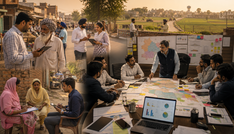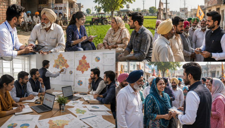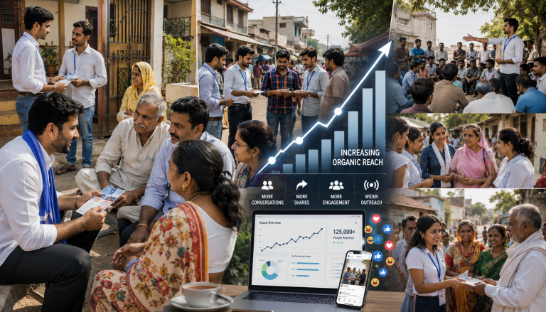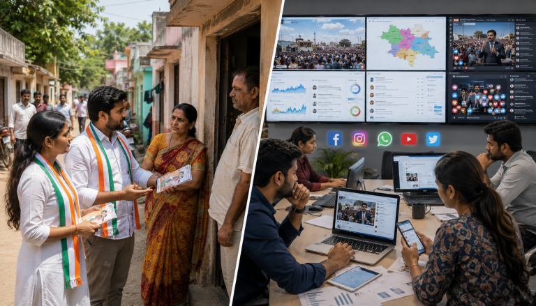

If you have ever wondered how organizations prove that a road was actually built, a tree was actually planted, or a survey was actually done on the ground, the answer usually comes down to one thing: geo-tagged data. It sounds technical, but the idea behind it is pretty simple once you break it down. In this guide, we will walk through what geo-tagged data actually means, how it works, why it has become such a big deal in 2026, and how it connects to services like GIS mapping and geo-tagging that businesses and government bodies rely on every day.
What is Geo-Tagged Data?
Geo-tagged data is basically information, usually a photo, video, or document, that carries location details attached to it. Every time a photo is geo-tagged, it gets stamped with the exact latitude and longitude of where it was taken, along with the date and time. Think of it like a digital signature that says, “this is real, and here is proof of where and when it happened.”
This matters a lot more than it sounds. Before geo-tagging became common, field reports relied on written notes, printed photos, or verbal updates. Anyone could claim work was done somewhere without much way to check it. Geo-tagged data removes that guesswork. It gives a verifiable trail that shows exactly where an activity took place, which is why it has become so important for government projects, NGOs, CSR programs, and private businesses that need proof of on-ground work.
How Does Geo Tagging Actually Work?
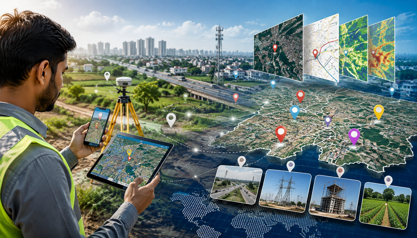
Geo-tagging relies on GPS technology built into smartphones and cameras. When someone takes a photo using a geo-tagging app, the device automatically pulls coordinates from satellites and attaches them to the image file. Along with the coordinates, most apps also add a timestamp, and sometimes even the address, weather conditions, or a custom watermark showing project details.
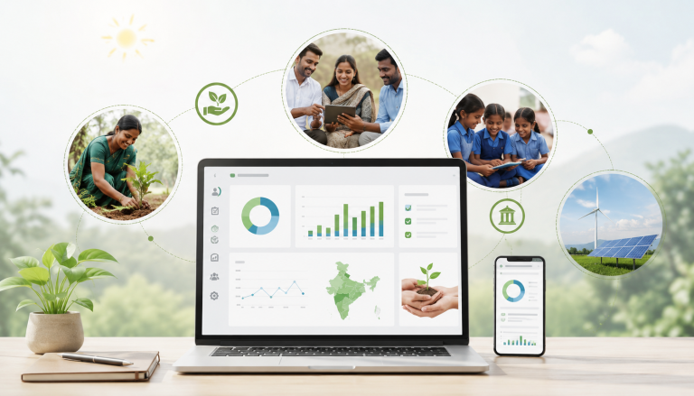
Once the geo-tagged photo is captured, it usually gets uploaded to a cloud dashboard where teams can review it. This is where geo-tagged data becomes really useful. Instead of scrolling through a folder of random images, project managers can open an interactive map and see every photo pinned to the exact spot it was taken. That map view turns scattered field data into something that actually tells a story about progress, gaps, and results.
Why Geo-Tagged Data Matters in 2026
The way work gets monitored has changed a lot over the last few years, and geo-tagged data sits right at the center of that shift. Government departments across India now expect geo-tagged proof for schemes related to sanitation, rural housing, education infrastructure, and health programs. CSR teams use it to show donors and boards exactly where their funding went and what it built. Even private companies doing asset tracking, retail audits, or logistics operations depend on geo-tagged data to confirm that deliveries, installations, or inspections happened where they were supposed to.
Part of the reason this trend has grown so fast is simple: smartphones with GPS are now common even in smaller towns and rural areas, and mobile networks have improved enough that field staff can capture and upload data without needing a laptop or a trip back to the office. That combination has made geo-tagged data collection faster, cheaper, and far more reliable than it used to be. India’s own Smart Cities Mission and land-mapping programs like SVAMITVA have leaned heavily on this kind of spatial data, which shows how mainstream geo-tagging has become in national-level planning, not just individual projects.
There is also a trust factor at play. Funders, auditors, and government bodies are asking tougher questions about accountability, and a geo-tagged photo answers those questions in a way that a written report simply cannot. It is hard to argue with a picture that carries its own location and timestamp.
Geo-Tagged Data and GIS Mapping: How They Work Together
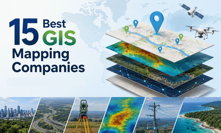
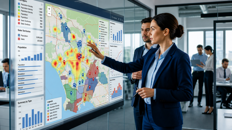
Geo-tagged data does not work alone. It becomes really powerful when it is combined with GIS mapping, which stands for Geographic Information System mapping. GIS mapping takes all the individual data points, like geo-tagged photos, survey results, or asset locations, and layers them onto a digital map so patterns become visible.
For example, if a state government is tracking toilet construction across hundreds of villages, individual geo-tagged photos tell you what happened at each site. But GIS mapping lets you zoom out and see the bigger picture: which districts are ahead of schedule, which ones are lagging, and where resources need to be sent next. This is exactly why organizations look for the best GIS mapping company when they want to turn raw geo-tagged data into something they can actually act on. Leadtech is one such provider in India, working across government schemes, telecom infrastructure, and smart city projects to turn field-level geo-tagged data into GIS maps and dashboards that support real planning decisions rather than just sitting in a folder somewhere.
Common Uses of Geo-Tagged Data
Geo-tagged data shows up in more places than people realize. In government and social sector work, it is used to verify rural infrastructure projects, track sanitation drives, monitor classroom construction, and document health camps in remote areas. CSR teams use it to prove that funded projects, whether it is a water tank, a skill training center, or a plantation drive, actually happened at the promised location.
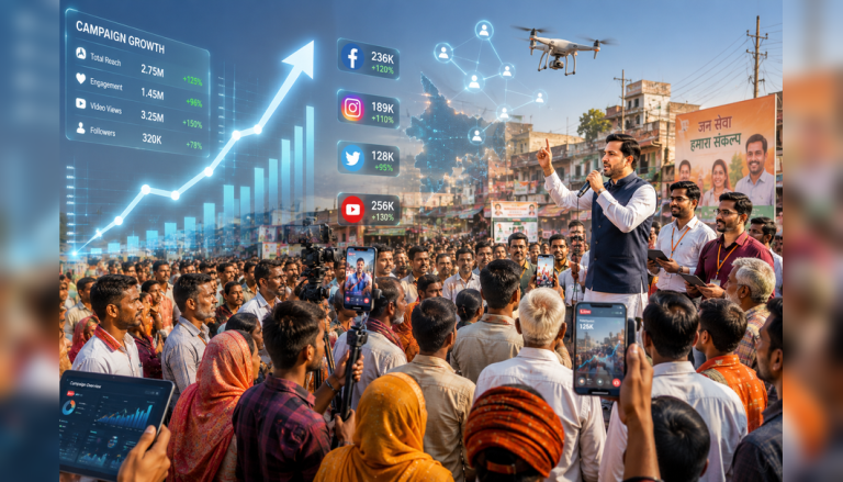
Retail and logistics companies use geo-tagged data to confirm store visits, delivery drop-offs, and field audits. Real estate and construction firms use it to document site progress over time, which helps with both project management and dispute resolution. Even election and political consulting work leans on geo-tagged data, using it to verify booth-level activities and on-ground campaign efforts.
Across all these use cases, the goal stays the same: turn what happened in the field into something that can be seen, verified, and trusted, without anyone having to physically visit every single site.
What to Look for in a Geo-Tagging Service
Not every geo-tagging service is built the same way, and the differences matter once you are managing hundreds or thousands of field visits. A solid geo-tagging service should work reliably even in areas with weak internet connectivity, since a lot of fieldwork happens in rural or remote locations. It should support local languages so that field staff do not struggle with the app. And it should sync data automatically to a secure cloud dashboard, so nothing gets lost if a phone runs out of storage or battery.
Beyond the basic photo capture, a strong geo-tagging service should also offer some form of interactive map or dashboard view, so teams can filter data by location, date, or activity type instead of digging through raw files. Leadtech’s geo-tagging service is built around this exact approach, with a mobile app designed for patchy network areas, support for local languages, and automatic cloud sync once a connection is available. This is often the difference between a tool that just collects data and one that actually helps organizations make sense of it.
Challenges to Keep in Mind
Geo-tagged data is powerful, but it is not perfect. GPS accuracy can vary depending on the device, weather, or how open the sky is above the location, so coordinates are sometimes off by a small margin. Network issues in remote areas can also delay uploads, which is why offline-capable apps that sync later have become the standard. Privacy is another consideration, since location data is sensitive information, and organizations need to be careful about how it is stored and who has access to it. None of these challenges outweigh the benefits, but they are worth planning for when choosing a geo-tagging service or setting up a data collection process.
The Road Ahead for Geo-Tagged Data
As more government schemes, CSR programs, and businesses shift toward digital-first monitoring, geo-tagged data is only going to become more central to how work gets verified. The organizations that adapt early, by choosing reliable geo-tagging tools and pairing them with the best GIS mapping company for their needs, are the ones that will have a clear edge when it comes to transparency, faster decision-making, and stronger trust with the people they answer to, whether that is a government auditor, a CSR board, or a customer.
Frequently Asked Questions
- What is geo-tagged data in simple terms? Geo-tagged data is any photo, video, or file that has location coordinates and a timestamp attached to it. It shows exactly where and when something was captured, which makes it useful for proving that fieldwork actually took place at a specific site.
- How is geo-tagged data different from a regular photo? A regular photo just shows an image. A geo-tagged photo carries hidden metadata, usually GPS coordinates and a timestamp, that confirms the exact location and time it was taken. This extra layer of information is what makes geo-tagged data useful for verification and reporting.
- Why do organizations hire a GIS mapping company for geo-tagged data? Collecting geo-tagged photos is only half the job. A GIS mapping company helps turn that raw data into visual maps and dashboards, making it easier to spot patterns, track progress across large areas, and make better decisions. Working with the best GIS mapping company, such as Leadtech, also means the data stays accurate, organized, and easy to access.
- Does a geo-tagging service work without internet access? Most modern geo-tagging services are built for field conditions, which means they let users capture photos offline and automatically sync them to the cloud once a connection is available. This is especially important in rural or remote areas where network coverage can be unreliable. Leadtech’s geo-tagging service, for instance, is designed to work smoothly even in low-connectivity areas.
- Which sectors use geo-tagged data the most? Geo-tagged data is widely used in government and social sector projects, CSR monitoring, rural infrastructure, sanitation drives, education programs, retail audits, logistics, and real estate. Any sector that needs proof of on-ground activity benefits from using geo-tagged data.